
Mt. Kinabalu is located in the City of Kota Kinabalu, Province of Sabah Borneo in Malaysia. It is Malaysia’s first World Heritage Site as declared by UNESCO and it also happens to be Southeast Asia’s highest summit at 4,095 masl (meters above sea level). With the influx of mountain climbers visiting this mountain everyday due to its tranquil trails, it has become widely known as Asia’s most popular hiking destination.
I personally climbed this mountain last May 22-23, 2012 with
a good friend Councilor Oliver Enot via the Timpohon-Summit-Timpohon route. We
made our reservation through the Sutera Sanctuary lodges which is one of the
easiest accesses to scaling Mt. Kinabalu. We paid the entire climb package of
at least PhP 11,000.00 excluding airfares from Davao to Manila and Manila to
Kota Kinabalu.
 |
| Low's Peak - the highest point |
Aside from enjoying the climb, I also considered the climb
as a way to gather ecotourism benchmarks and have it all archived for reference
and replication in the Philippine setting particularly in Mt. Apo where I am
handling the trekking program. I am pleased therefore, to take note some of the
strategies employed by their concerned authorities especially in the aspects of
bookings and reservations, designation of tour guides and porters, trail maintenance and management, among
others.
Registration
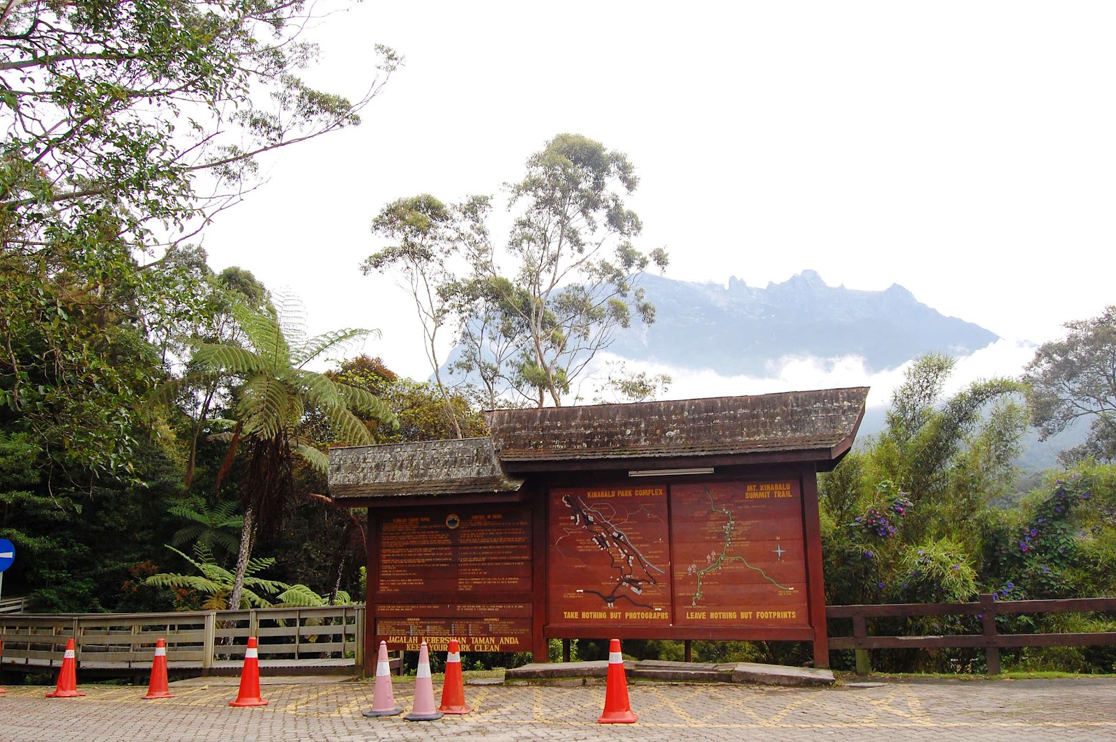 |
| Kinabalu Park Headquarters |
Climb Proper
The journey of conquering Mt. Kinabalu begins at Timpohon
Gate (1,866 meters). Altitides range from 1,981 at the first rest stop to over
4,000 meters at the peak. The climb can be challenging and strenuous. What’s
good about this mountain is that unlike any Philippine mountains, one will no
longer bring a tent, sleeping bags, cooking set and camping stove because this
will be provided by Sutera through its mountain lodges and restaurant.
 |
| Start of Trekking from Timpohon Gate |
From Timpohon Gate to Laban Rata took us 4 hours while the
ascent to the summit was a chilling 3-hour climb which started at Laban Rata in
a very early 2:00 AM dawn. There were a total of seven designated stopovers
along the trail before reaching Laban Rata, all equipped with potable water
systems and climbers’ huts. The huts also serve as tourist information corners
where all details of the climb are posted.
 |
| Laban Rata Restaurant and Dormitory |
The trail is mostly open and established. There are trail
signs along the way starting from Timpohon gate to Low’s Peak (4,095 masl).
Ropes are also placed in more risky tracks particularly when ascending from
Laban Rata all the way to the summit.
Flora and Fauna
Mt. Kinabalu park is known for the abundance and diversity
of its plant life, within one of the most ancient vegetations in the world.
There are over 1,200 species of wild orchids and 40 varieties of oak in its
forests, not to mention the countless varieties of rhododendrons with blooms
ranging in hue from deep red to pale pink and white. Masses of moss and ferns
weigh down the trees of the Montane oak forests of the upper regions. Flowers
are to be seen everywhere on the trees, in the shrubs, along the banks on the
forest floor and even peeping out of the rocky crevices of the summit. Orchids
such as the white necklace orchids are as delicately beautiful as their
namesake.
 |
| Some of Kinabalu Park's Flora and Fauna |
The Bornean mountain ground squirrel Dremomys
everetti are often spotted scampering about in the scrub vegetation while
the mountain tree shrewTupaia montana are easily spotted along the
mountain trails. You may even come across a red-necked keelback snake sunning
itself along your path.
The variety of birds ranges over a wide selection and over
half of all of Borneo's bird species can be found in the Kinabalu National
Park. Amongst them are Mountain Black Eye, Mountain Black Bird, Borneo Bright
Eye, Euphrasia borneensis, and the now 'not-so-friendly' nor so easily
sighted Friendly Kinabalu Warbler.
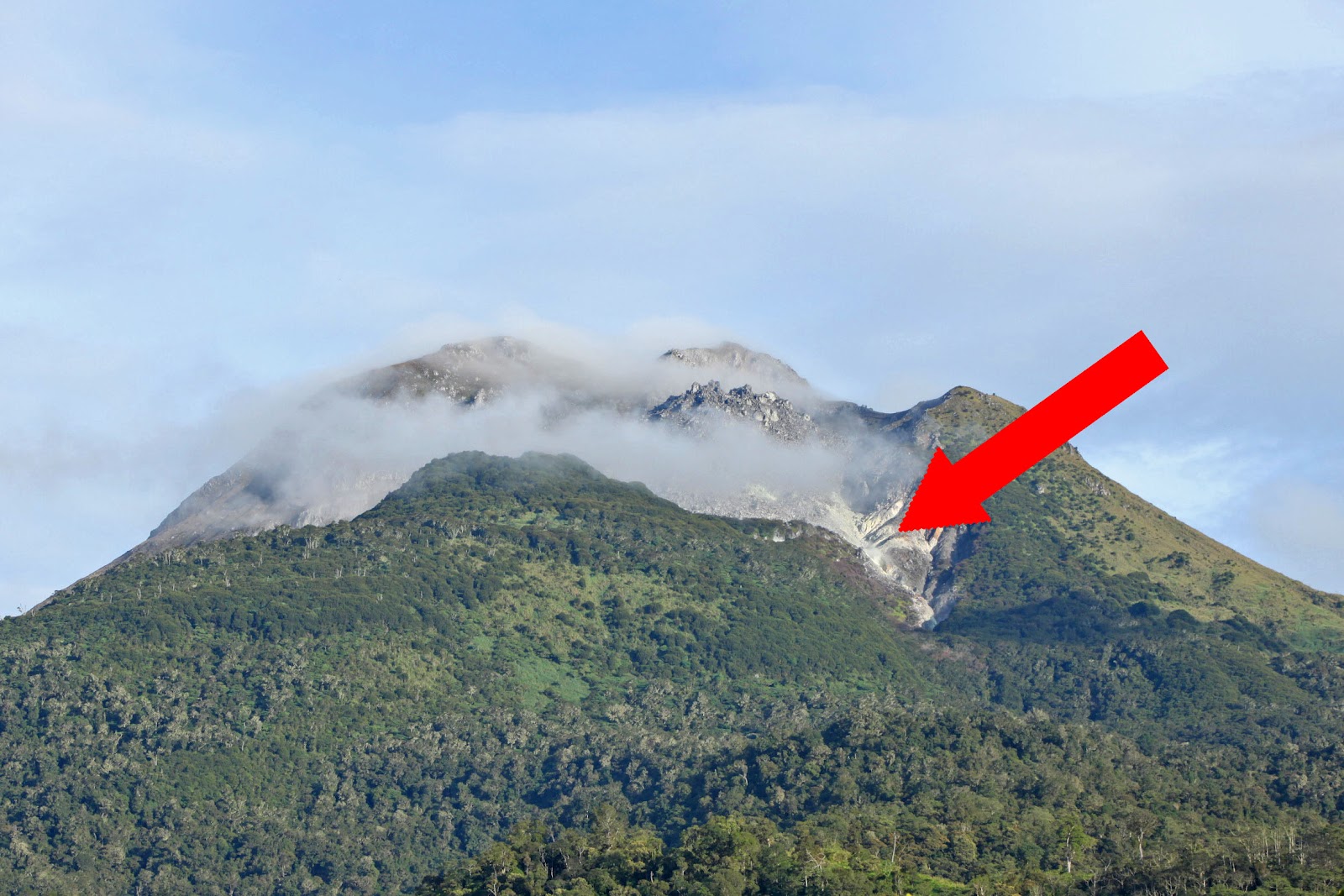
The Peaks
The spectacular Low's Gully divides Mount Kinabalu into its
Western and Eastern plateaus. There are several trails leading to lesser peaks
besides Low's Peak. These are very tough routes and intending climbers must
obtain written permission from the Park Authorities for any exploration outside
the conventional trails. Experienced guide are compulsory.
 |
| St. John Peak |
Western Summit Plateau Attractions include South Peak (3,921
metres) and St John's Peak (4,090 metres). Both may be climbed in half a day
but are recommended only for more experienced climbers. St John's is
particularly tricky. Other major peaks are Ugly Sisters (4,086 metres),
Alexandra (3,998 metres) and Victoria (4,090 metres).
The terrain on Western Plateau is rocky but smooth, showing the effects of
glaciations. The trail calls for use of ropes to negotiate the challenging
climb.
Special Concerns
 |
| With Pare Dockie near the South Peak |
Special Thanks
Behind my great climb to Mt. Kinabalu are the following
persons and agencies that have extended assistance. They are all worthy of my
thanks and appreciation.
- PAIC Office
- Sir Andy Ugdoracion of CIBTC
- Department of Tourism XI
- TDEVS Services, Inc.
- Tinikaran Outdoor Shop through Hon. Oliver Enot
- Mr. Bryan Gabañete of White Peak Outdoor Shop
- Engr. Albert Gabriel
- Mr. Danrev Broñola
- Mr. Hardy Joy Desuyo
- Mr. Lito Roque of SAVERS
- LOGSAC Pips